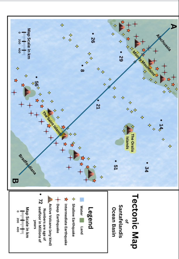
(Solved): Tectonic Map of Santafelandis Ocean Basin Legend Water Land Shallow Earthquake Intermediate Eart ...
Tectonic Map of Santafelandis Ocean Basin Legend Water
◻Land Shallow Earthquake Intermediate Earthquake
Deep Earthquake Active Volcano (any kind) Numbers are age of 72 seafloor in Millions of years Map Scale in km |""|||||||||||||||| ||
0,200,400Tasks: Objective 1: Map Analysis Points/30) Purpose: Use volcanic and earthquake locations to identify tectonic features, plate types, movements, and boundary types. Materials Needed: Map of Santafelandis showing volcanic and earthquake locations Colored pencils or markers Steps: a. Determine Plate Boundaries: i. Use the plotted volcanic and earthquake locations to determine tectonic plate boundaries. ii. Draw plate boundaries on the map (4 points). b. Identify Boundary Types: i. Use the map to categorize the boundaries where volcanoes and earthquakes are concentrated: Divergent Boundaries: Locations where plates move apart (often found along mid-ocean ridges). Convergent Boundaries: Locations where plates move towards each other (often associated with deep ocean trenches and mountain ranges). Transform Boundaries: Locations where plates slide past each other (often characterized by strike-slip faults). ii. For each of the plate boundaries you drew, label the type of plate boundary (6 points). c. Label Tectonic Features: i. Using evidence on the map: label all the deep ocean trenches with Ts (2 points). ii. Find a volcano that may be a hotspot. Label it with a H (
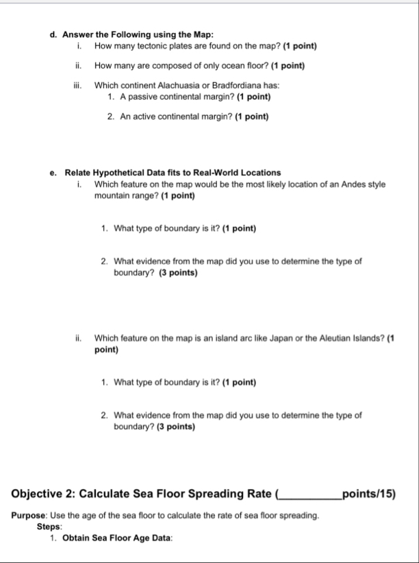
2points). Draw an arrow starting at the volcano on the hotspot and pointing it in the direction that you would expect to find progressively older, extinct, volcanoes left from the mantle plume ( 2 points).d. Answer the Following using the Map: i. How many tectonic plates are found on the map? (1 point) ii. How many are composed of only ocean floor? (1 point) iii. Which continent Alachuasia or Bradfordiana has: A passive continental margin? (1 point) An active continental margin? (1 point) e. Relate Hypothetical Data fits to Real-World Locations i. Which feature on the map would be the most likely location of an Andes style mountain range? (1 point) What type of boundary is it? (1 point) What evidence from the map did you use to determine the type of boundary? (3 points) ii. Which feature on the map is an island arc like Japan or the Aleutian Islands? (1 point) What type of boundary is it? (1 point) What evidence from the map did you use to determine the type of boundary? (3 points) Objective 2: Calculate Sea Floor Spreading Rate oints/15) Purpose: Use the age of the sea floor to calculate the rate of sea floor spreading. Steps: Obtain Sea Floor Age Data:Use the locations on the map showing the age of the sea floor at different locations. Measure Distances: Measure the distance between the age markers on the sea floor map to the midocean ridge (MOR). Use the scale on the map to determine the distance. Calculate Spreading Rate for three locations and their average: Use the formula:
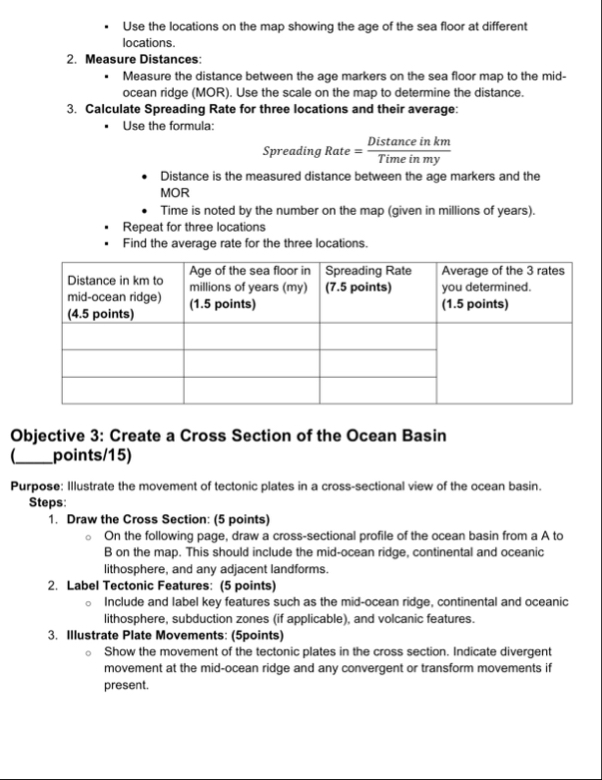
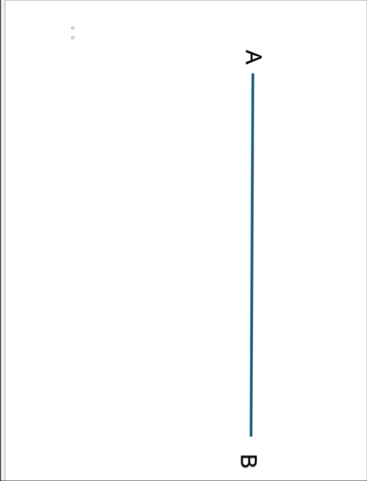
Spreading Rate =( Distance in km)/( Time in my)Distance is the measured distance between the age markers and the MOR Time is noted by the number on the map (given in millions of years). Repeat for three locations Find the average rate for the three locations. \table[[Distance in km to mid-ocean ridge) (4.5 points),Age of the sea floor in millions of years (my) (1.5 points),Spreading Rate (7.5 points),Average of the 3 rates you determined. (1.5 points)],[,,,],[,,,],[,,,]] Objective 3: Create a Cross Section of the Ocean Basin joints/15) Purpose: Illustrate the movement of tectonic plates in a cross-sectional view of the ocean basin. Steps: Draw the Cross Section: (5 points) On the following page, draw a cross-sectional profile of the ocean basin from a A to B on the map. This should include the mid-ocean ridge, continental and oceanic lithosphere, and any adjacent landforms. Label Tectonic Features: (5 points) Include and label key features such as the mid-ocean ridge, continental and oceanic lithosphere, subduction zones (if applicable), and volcanic features. Illustrate Plate Movements: (5points) Show the movement of the tectonic plates in the cross section. Indicate divergent movement at the mid-ocean ridge and any convergent or transform movements if present.\table[[
D